url of netCDF file with jarkus data
url = jarkus_url
url =

p:\mcdata\opendap\rijkswaterstaat\jarkus\profiles\transect.nc
transect info
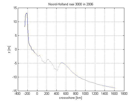
year     = 2006;            % year of sounding
kustvak  = 'Noord-Holland'; % area name
transect = 3000;            % alongshore coordinate
retrieve info about dimensions and variable names
info = nc_info(url);
derive the identifier of the parameter 'altitude'
altitude_id = strcmp({info.Dataset.Name}, 'altitude');
locate the relevant positions along the dimensions
id.time        = (1970 + floor(nc_varget(url, 'time')/365)) == year;
id.alongshore  = nc_varget(url, 'areacode'  ) == rws_kustvak(kustvak) &...
                 nc_varget(url, 'alongshore') == transect;
id.cross_shore = true(size(nc_varget(url, 'cross_shore')));
retrieve the transect data
remove 1 from start indices because netCDF is 0-based while matlab is 1-based.
OETSETTINGS be default selects the netCDF java library the removed substitus NaN for missing values (e.g. -9999)
x              = nc_varget(url, 'cross_shore');
start_altitude = [find(id.time       , 1,'first') ...
                  find(id.alongshore , 1,'first') ...
                  find(id.cross_shore, 1,'first')] - 1;
count_altitude = [ sum(id.time       )...
                   sum(id.alongshore )...
                   sum(id.cross_shore)];
z              = nc_varget(url, 'altitude', start_altitude, count_altitude);
plot the transect
figure
plot  (x, z);
xlim  ([-400 1800]);
xlabel('crossshore [km]')
ylabel('z [m]')
title ([kustvak ' raai ' num2str(transect) ' in ' num2str(year)])
grid   on